Close
3D pixelated close-up of a mechanical or robotic surface with circular and rectangular raised patterns.
Detact
2023
A tactile mapping system for the visually impaired.
Summary
[[Detact is a speculative concept for a tactile map system designed to help blind people explore and understand places.]] It is based on an innovative shape-changing display developed by the MIT Media Lab that makes information tangible.

The concept takes this tactile display technology into the future and places it in a context of use. [[The result is a future-facing portable device,]] grounded by testing 3D-printed prototypes with members of the visually impaired community.
Project details
Team
Jannes Daur
Johannes Rothkegel
Get project details
Information
Invention design
2023
4 Weeks
Role
Ideation
Concept
Renderings
User testing
Visual design
View as gallery
Problem
Navigating a foreign city is challenging. In modern applications visually impaired users can use routing functions and voice output to navigate from point A to B. This however, does not convey the vast amount of information that sighted people gain while using digital maps.
The Future of tactile cartography
This concept projects a future where tactile pin-matrices are compact enough to provide users with tangible, real-time spatial data on the go.
Dark grid background with text showing current pin density as 2 pins per inch and future pin density as 72 pins per inch inside a bordered box.
3D white cubic blocks stacked in varying heights on a dark background with a dimension label of 0.35MM.
Placeholder image icon with a mountain and sun inside a rounded square on a light gray background.
Concept
Detact translates digital map data like position, streets, landmarks etc. into real-time haptic feedback, filling the gap left by voice navigation. Unlike static analog maps, this flexible system scales to any location and detail level, empowering visually impaired users to independently explore and comprehend their surroundings.
Close-up of a 3D pixelated surface made of small white cubes creating a layered circular pattern.
Exploration
We iteratively tested various information markers, including Braille and symbolic icons. Ultimately, we implemented a series of abstract tactile shapes based on 1970s research, which prioritize tactile distinctness and legibility over literal meaning.
Rows of small, white textured square and circular samples with various raised patterns arranged diagonally on a white surface.
Close-up of multiple gray 3D-printed square samples featuring various raised patterns on a white surface.
Close-up of white circular and square tokens arranged on a white surface with various abstract embossed designs.
Placeholder image icon with a mountain and sun inside a rounded square on a light gray background.
Empty placeholder image with a light gray background and an icon of a photo in the center.
Form system
After further test series for areas and routes, we arrived at a system with which we could construct the 3D models for our tactile maps in a modular fashion.
Chart of map symbols including points of interest like current location, shopping, nature, sports, health, production, entertainment, education, mobility, religion, gastronomy, public institution, restrooms; patterns for areas such as industrial, downtown, nature, bodies of water; and line symbols for river, rails, footpath, street, and pedestrian crossing.
Empty placeholder image with a light gray background and an icon of a photo in the center.
Placeholder image icon with a mountain and sun inside a rounded square on a light gray background.
Empty placeholder image with a light gray background and an icon of a photo in the center.
Three white embossed map tiles with detailed streets and building outlines laid out on a white surface.
Four white 3D raised relief maps mounted side by side on a white wall.
Placeholder image icon with a mountain and sun inside a rounded square on a light gray background.
Empty placeholder image with a light gray background and an icon of a photo in the center.
Hand holding a white 3D tactile map casting a shadow on a white wall.
Two hands holding and touching a detailed 3D architectural model of a city layout.
Placeholder image icon with a mountain and sun inside a rounded square on a light gray background.
Empty placeholder image with a light gray background and an icon of a photo in the center.
User testing
We tested our project with a small group from the visually impaired community in Stuttgart, Germany, using 3D-printed maps built with our form system. All participants found Detact helpful and the information clearly distinguishable. We were surprised by how quickly participants learned to recognize individual elements, especially those who had been blind for a longer period.
Close-up of hands interacting with a tactile 3D city map model on a white table, with a braille legend visible in the background.
Person wearing a green sweater and maroon scarf typing on a white keyboard at a desk.
Three men sitting around a white table in an office, one using a laptop, another holding a tablet, and the third wearing a hat and scarf with papers in front of him.
Reflection
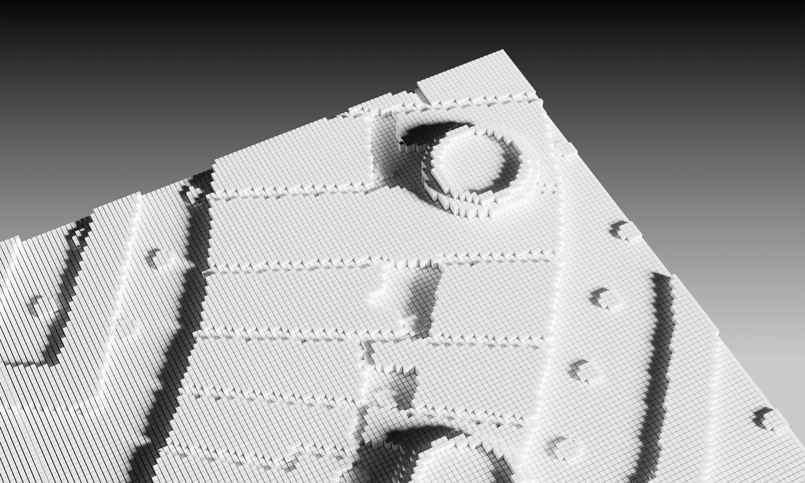
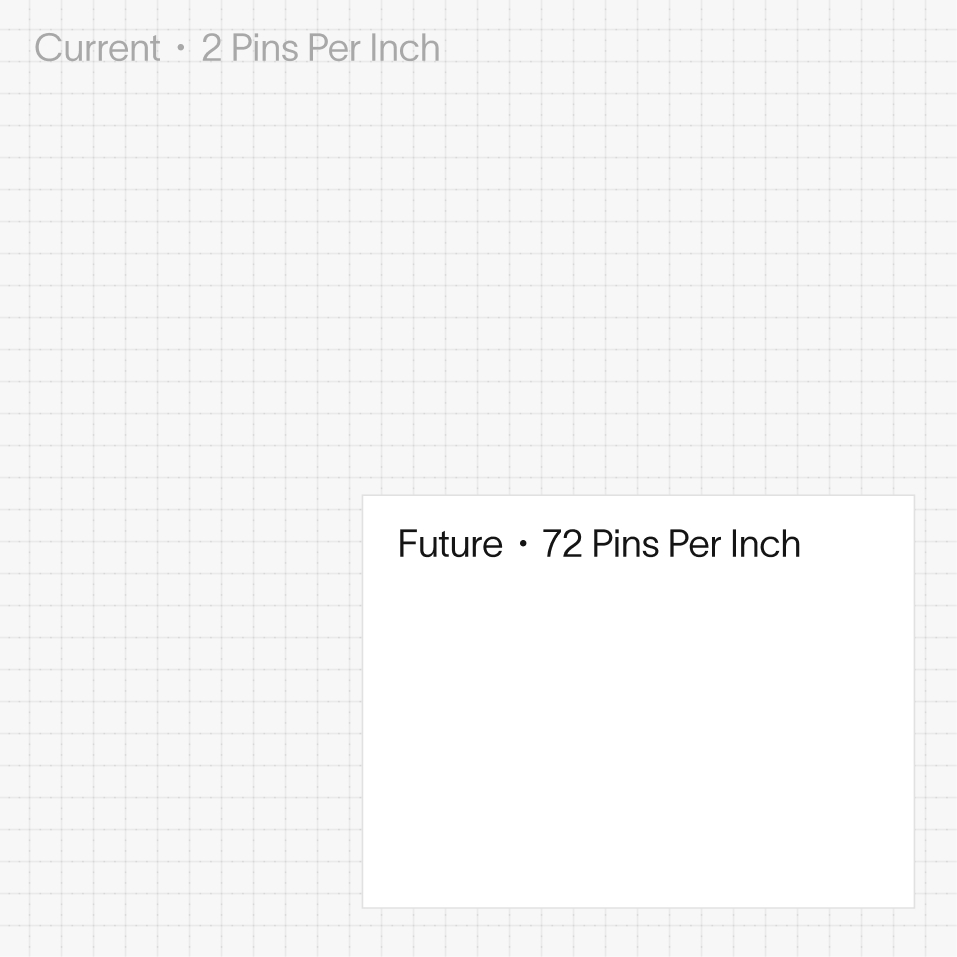
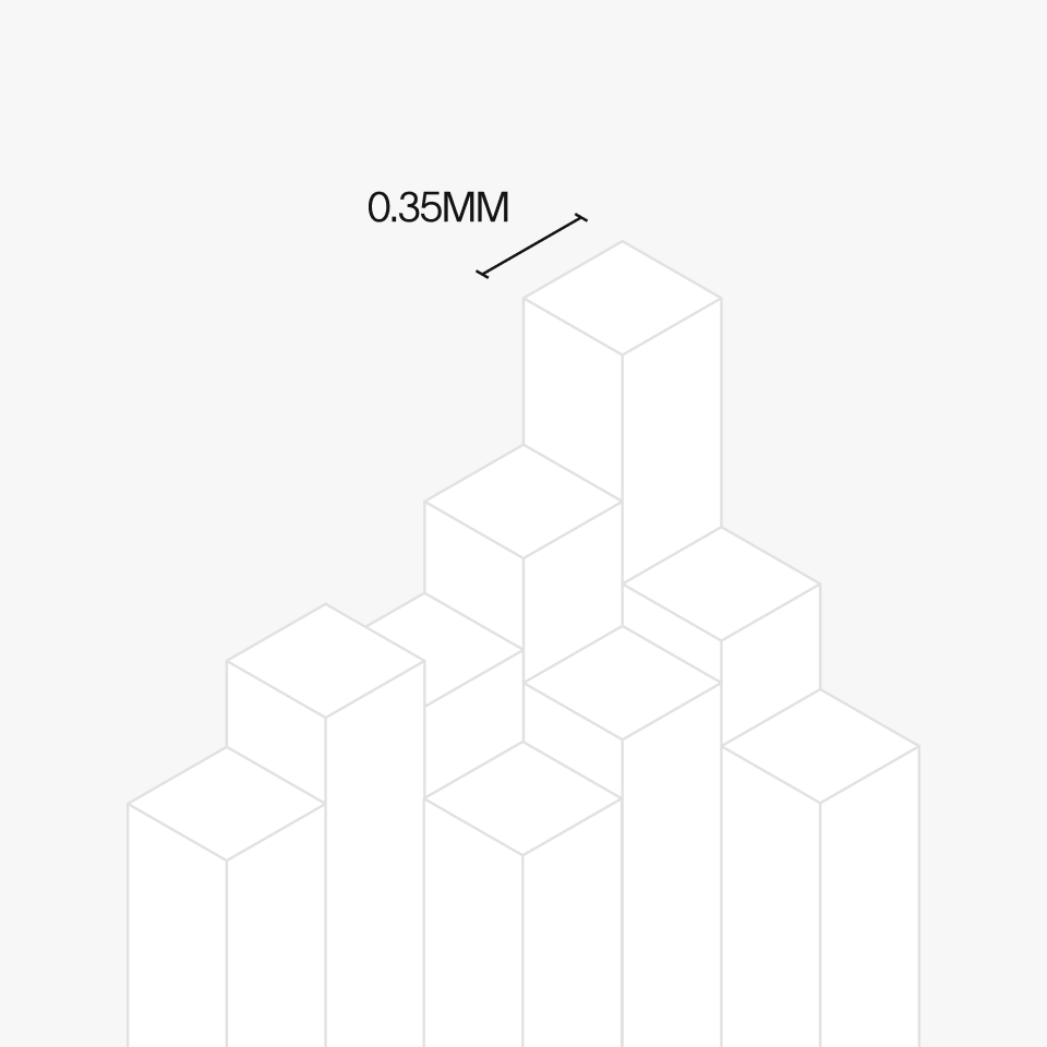
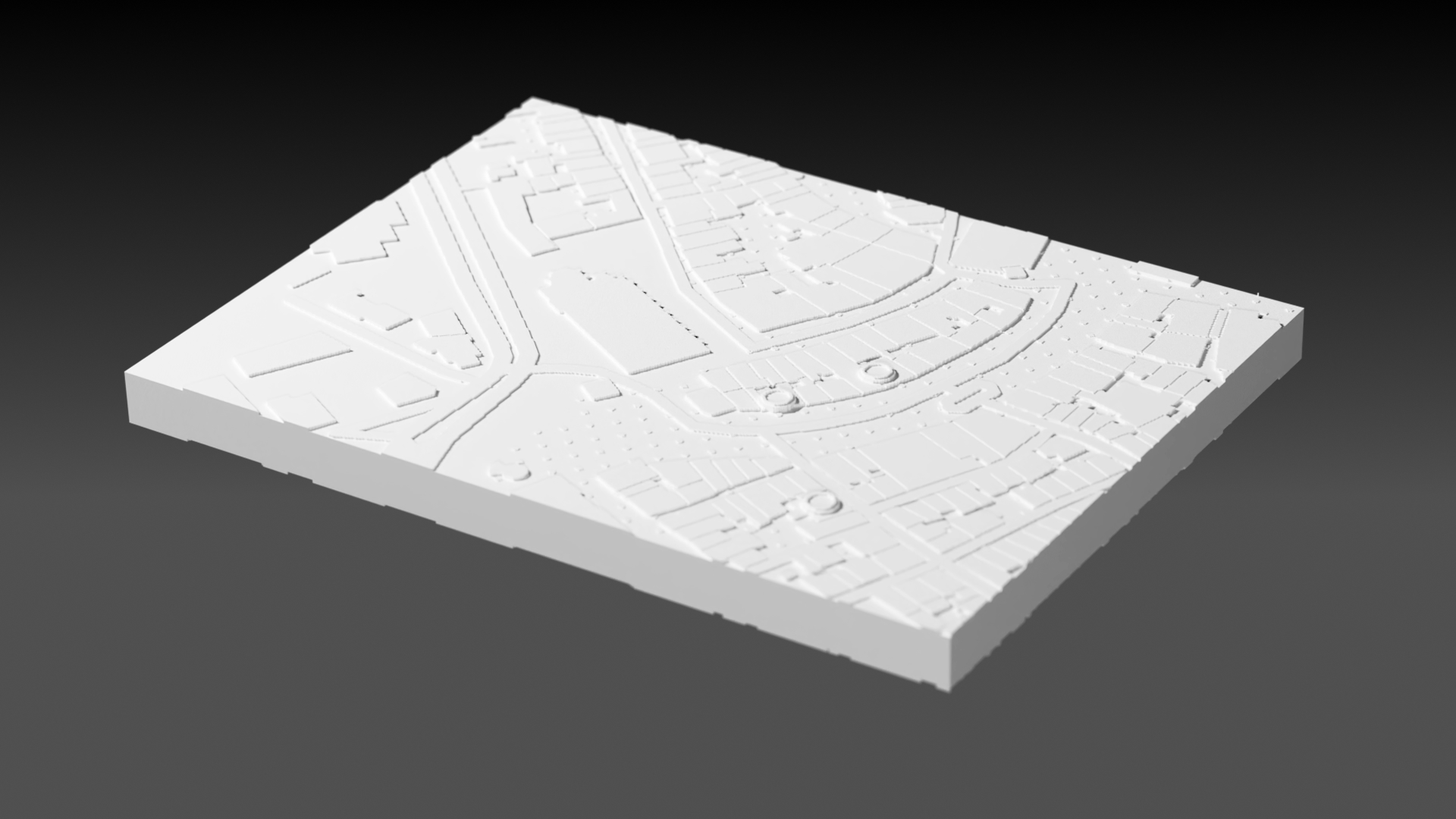
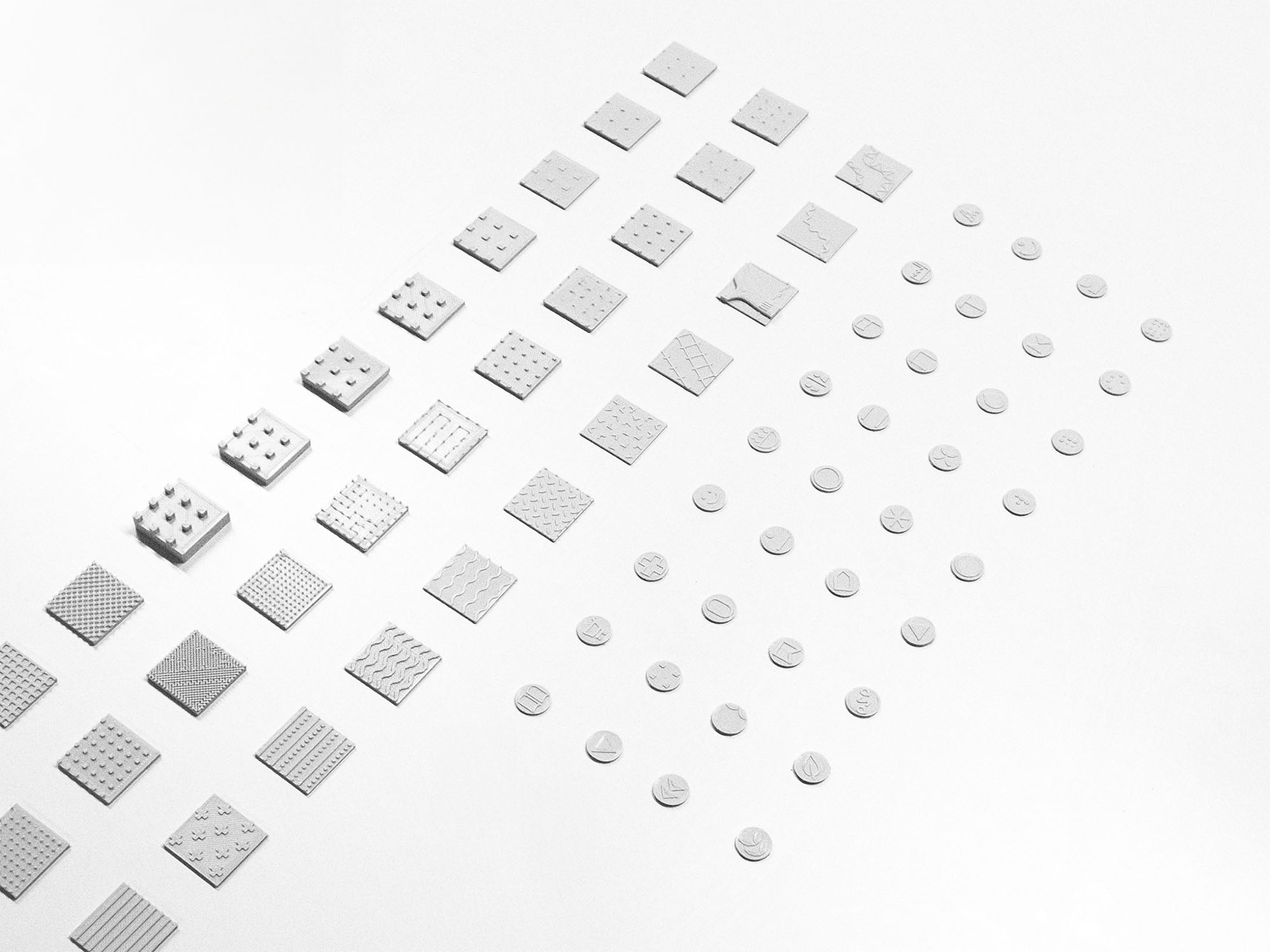
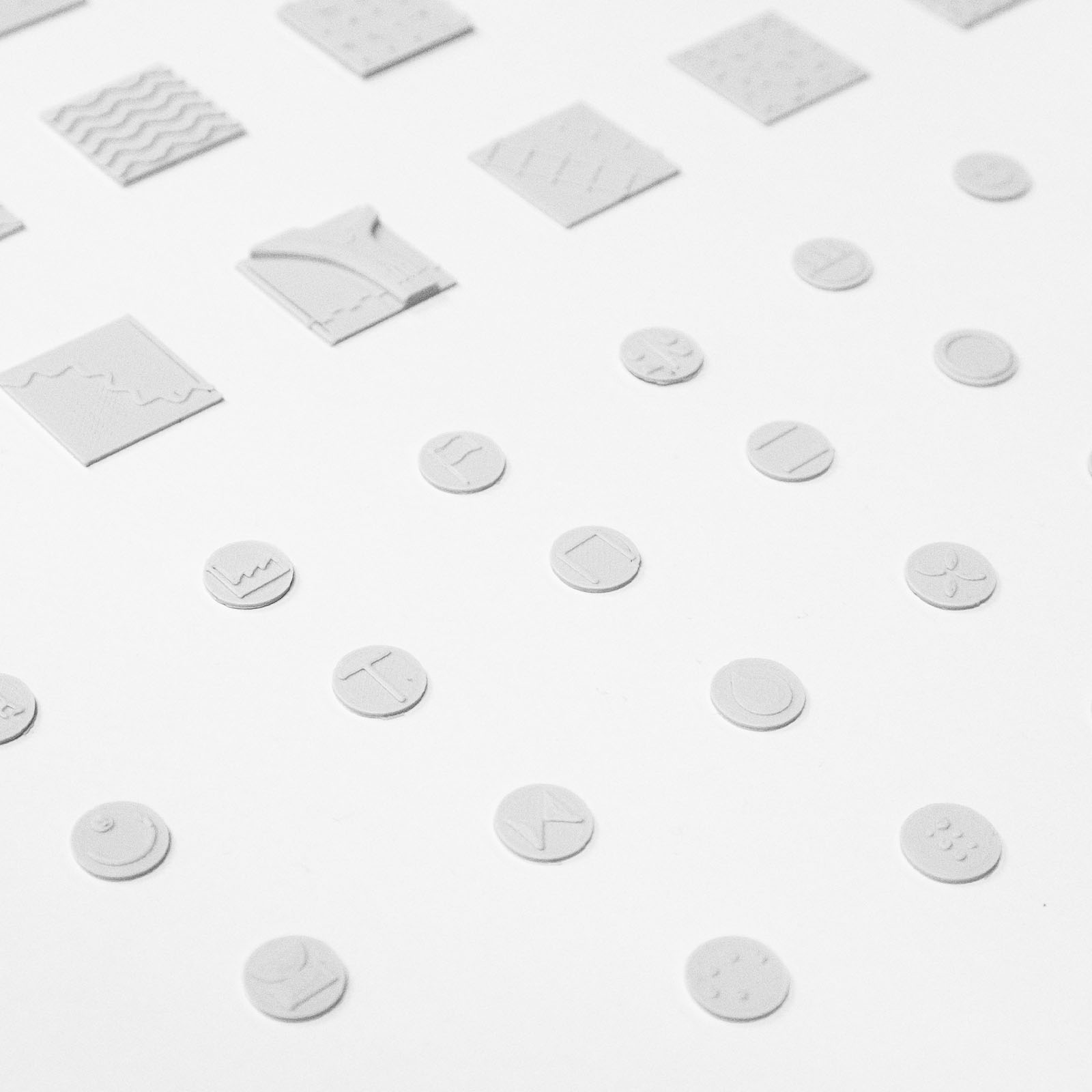
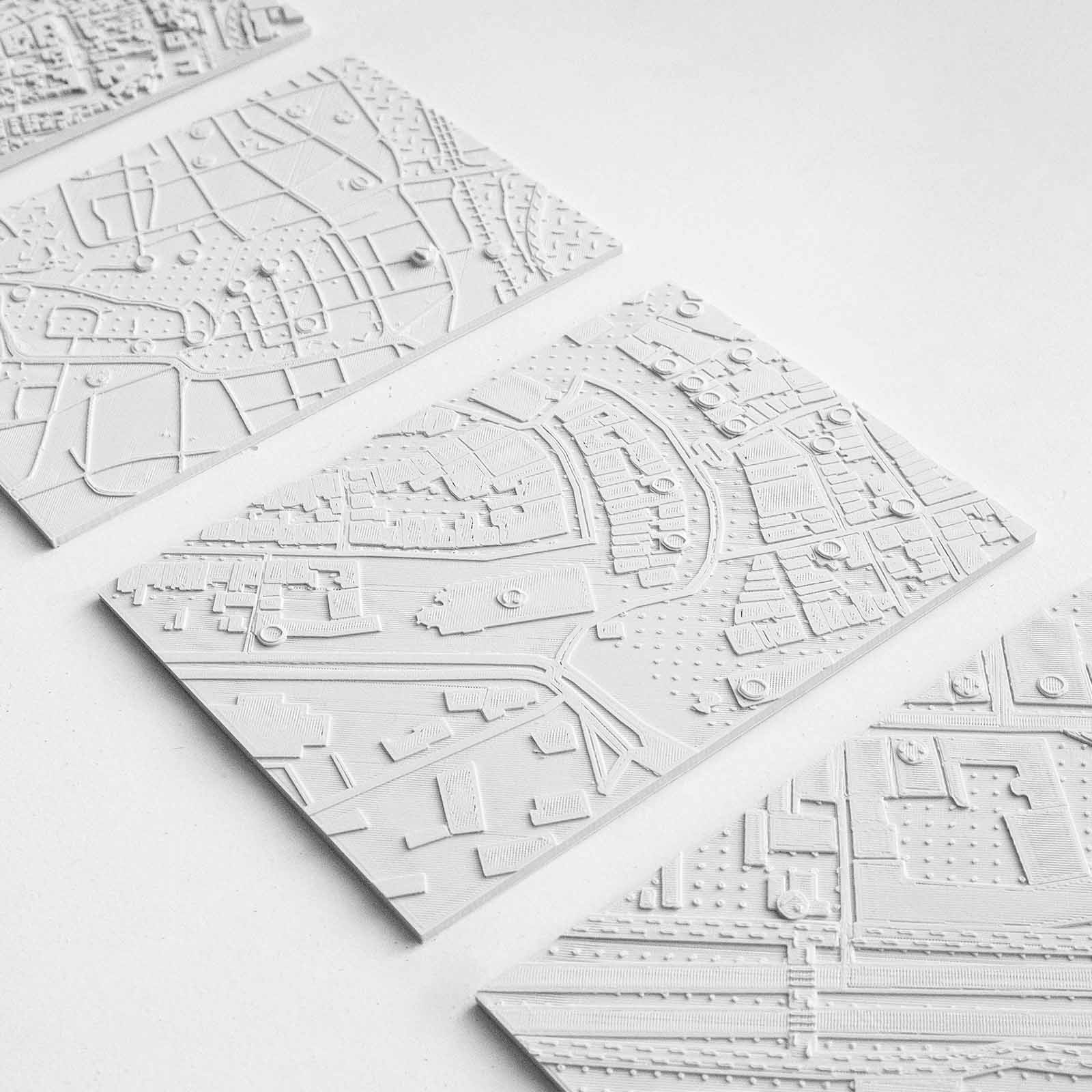
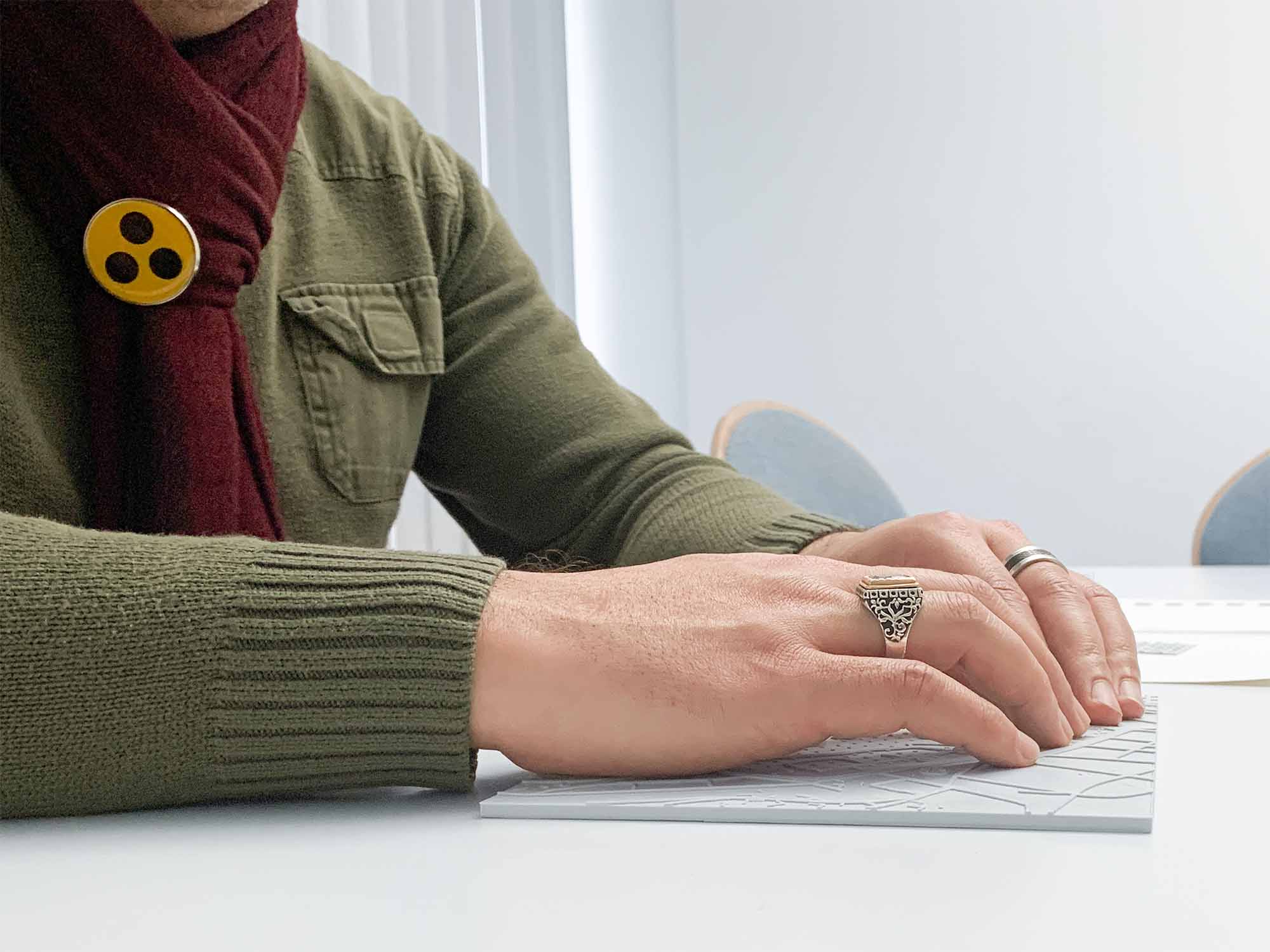
While working on Detact, I was deeply inspired by engaging with a community of visually impaired individuals who seem to be often overlooked in the design process. It was a humbling experience that revealed how non-visual senses can offer pathways for interaction that I, as a sighted designer, had never previously considered. This meant stripping away traditional color and typography, which proved very challenging as it forced us to focus purely on form and tactile hierarchy.

As part of a speculative design course, I found it rewarding to find a balance between imaginative thinking and the practical reality of interaction design. I enjoyed working with a team that pushed itself to envision the future of accessibility through a creative, yet grounded lens.